LN-270 Pointing, Locating, Navigation and Stabilization System INS/GPS (EGI)
Proven lightweight, low power, low cost, and highly reliable technology
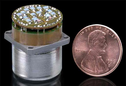
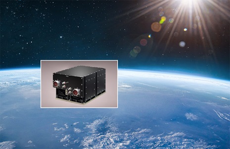
The LN-270 is the smallest, lightest, lowest power and most reliable Pointing, Locating, Navigation and Stabilization system in its class, with unsurpassed geo-location and velocity accuracy. It is a highly adaptable non-dithered solution with the lowest Angle Random Walk (ARW) of any land navigation system in its class.
LN-270 Applications
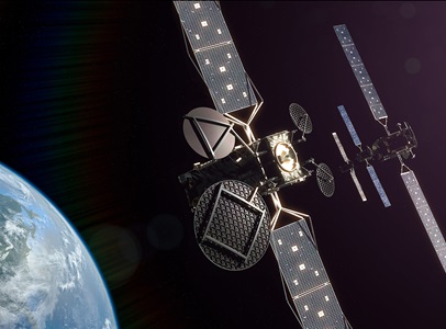
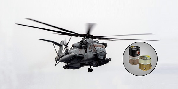
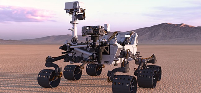
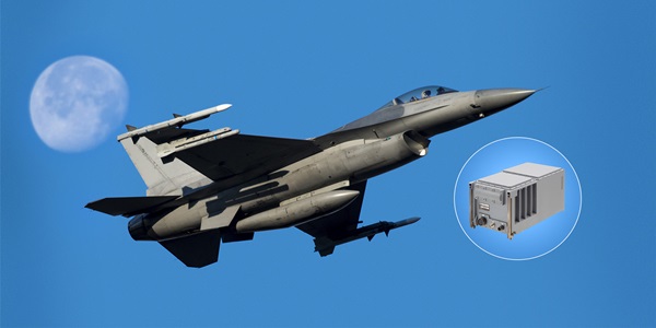
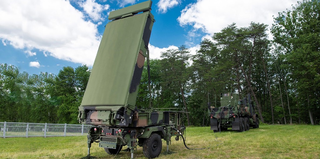
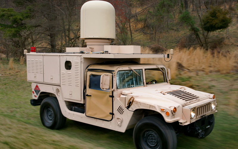
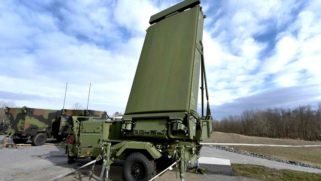
The LN-270 is a tightly coupled, integrated digital INS/GPS that provides superior performance for pointing, navigation and geo-location of manned and unmanned vehicles and sensors. It is also capable of a moving alignment. The LN-270 provides unsurpassed pointing and navigation performance in GPS-challenged areas and is integrated with static as well as rotational radar systems, sensors and platforms, resulting in the most accurate target location performance.
LN-270 Advantages
The LN-270 FOG employs one of our most modern technologies and includes three independent navigation solutions: blended INS/GPS, INS-only and GPS-only. The non-dithered, low noise FOG technology eliminates self-induced acceleration and decreases velocity noise as observed in Ring Laser Gyro technologies. The system is lightweight, low power, low cost, and highly reliable — over 68,000 hours mean time between failures (MTBF). The LN-270 is available in 0.4, 0.8, 1.0 and 2.0 mil pointing accuracy performance.
Contact Us
Service and Support
1-866-NGNAVSYS (646-2879)
